Geospatial solutions under the microscope: A recap of Addresscloud's OS Event
6 Minute Read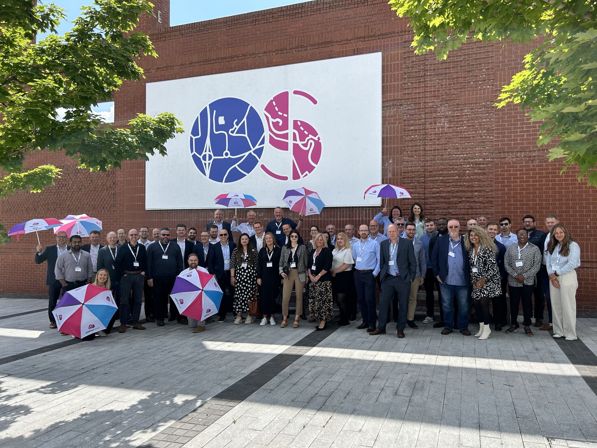
Addresscloud recently hosted an engaging and insightful event, showcasing how their cutting-edge geospatial solutions enhance underwriting accuracy and risk assessment. This event was not only an opportunity to highlight their capabilities but also to educate the market on the intricacies of address-mapping and peril-scoring technologies. The day was packed with interesting talks from leading experts, including the Ordnance Survey (OS), JBA Risk Management, and Maplesky, providing attendees with a comprehensive understanding of the tools and methodologies that drive accurate risk assessments.
The event kicked off with a tour of the OS centre then the formal agenda began with an introduction that set the stage for a day full of knowledge sharing.
The Lifecycle of an address
Nick Carey, Sales Manager at OS, started the sessions with a demonstration of their AddressBase Core product. This tool is pivotal in providing coordinates for every postal address in Great Britain, offering rooftop-level accuracy that is crucial for precise underwriting. The demonstration highlighted how OS assigns a Unique Property Reference Number (UPRN) and accuracy codes, ensuring that insurers have access to the most accurate geographical data.
Following this, Nick delved into the lifecycle of an address. This segment covered the collaboration between the Royal Mail, local authorities, and the use of UPRNs. The discussion clarified the differences between the UPRN and the Royal Mail UDPRN (Unique Delivery Point Reference Number, explaining how multiple addresses can be associated with a single property. This understanding is vital for insurers as it affects risk assessment and policy accuracy.
The difference? A UPRN is a 12-digit code used to identify premises in OS’ address products, such as AddressBase. In contrast, a UDPRN) is an 8-digit code used in Royal Mail's address products, like the Postal Address File (PAF). UPRNs are updated on a six-week cycle, while UDPRNs are updated daily.
Subsidence modelling by Maplesky
Dr. Timothy Farewell from Maplesky provided an enlightening overview of UK subsidence modelling. He emphasised the significance of understanding subsidence factors, which are:
Problematic soil types: Certain soil types, such as clay, can expand and contract significantly with changes in moisture levels. This movement can cause foundations to shift, leading to structural damage.
Extreme weather: Changes in weather patterns, particularly prolonged periods of drought or heavy rainfall, can exacerbate soil movement. Droughts can cause the soil to shrink, while heavy rain can cause it to swell, both of which can destabilise buildings.
Vulnerable structures: Older buildings or those not constructed to modern standards are often more susceptible to subsidence. These structures may lack the necessary foundations or materials to withstand ground movement.
Trees: The presence of large trees near buildings can influence subsidence. Trees with extensive root systems can draw moisture from the soil, potentially causing it to dry out and shrink, leading to ground movement.
Maplesky's subsidence maps, which are integrated into Addresscloud's solutions, play a crucial role. These maps provide detailed, location-specific data on the various factors influencing subsidence risk. By incorporating this data, insurers and property developers can better understand the potential for subsidence and make informed decisions on risk management and mitigation.
Dr. Farewell's presentation emphasised that understanding and managing subsidence is not just about mitigating immediate risks but also about planning for long-term resilience. As climate change continues to affect weather patterns, the factors contributing to subsidence may become more prevalent, making accurate modelling and proactive risk management increasingly important.
Flood risk mapping by JBA
Simon Waller from JBA Risk Management took the stage to discuss the intricacies of flood mapping and recent updates. He explained the methodologies used to map river, surface, and coastal flooding, as well as the importance of flood defences.
A key aspect of Waller's presentation was the emphasis on flood defences and their critical role in mitigating flood risks. He detailed the different types of flood defenses, including fixed (permanent structures), demountable (structures that can be deployed as needed), and temporary measures.
His talk underscored the granularity required in flood risk mapping, stressing that accurate data can significantly enhance risk prediction and management. Granular data allows for more precise and localised risk assessments, which are invaluable for insurers.
Building level risk with Addresscloud
Addresscloud's CEO, Mark Varley, rounded out the speaker sessions with a discussion on understanding geographical risk at the building level. He argued that while postcodes can offer a general sense of location, they often cover large areas with diverse risk profiles. For example, a single postcode may include properties that are both highly vulnerable and relatively safe from certain risks, such as flooding or subsidence.
On the other hand, address-level data, while more specific, can sometimes be too narrow. A single address may not adequately capture complex risks that affect entire buildings or structures, especially in cases where a building contains multiple units or is part of a larger complex.
Building-level data, although challenging to acquire, is particularly valuable for larger properties, such as commercial buildings, apartment complexes, and industrial sites, where risks can vary significantly within the same structure. Mark Varley also highlighted the efforts of the Overture Maps Foundation, an initiative aimed at making high-quality building data more accessible. The foundation helps lower the barriers to entry for smaller insurers and other stakeholders who may not have the resources to acquire expensive datasets independently.
Remember! Addresses can’t flood, buildings do!
Panel Discussion: The future
The day's formal agenda concluded with a panel discussion featuring all speakers, chaired by Chief Commercial Officer, Alun Jones. The panel explored future climate risks for insurers, with a focus on the vast amount of data available and the complexities involved in its interpretation.
A key takeaway was the role of AI in enhancing risk identification and the importance of understanding AI outputs. The consensus was clear: while AI won't replace human expertise, those who leverage AI will have a significant advantage.
This CII-accredited training program, in partnership with JBA and Maplesky, higjloghts Addresscloud's commitment to equipping insurers with the knowledge and tools to navigate the complexities of risk assessment in a changing climate. Watch this space!
The event was a resounding success and a huge thank you to the speakers and everyone who attended. Participants left better equipped to leverage geospatial solutions in their professional practice!
Addresscloud in Action
See how Addresscloud services are helping our customers solve real-world challenges.